Elgin Bryce Holt report

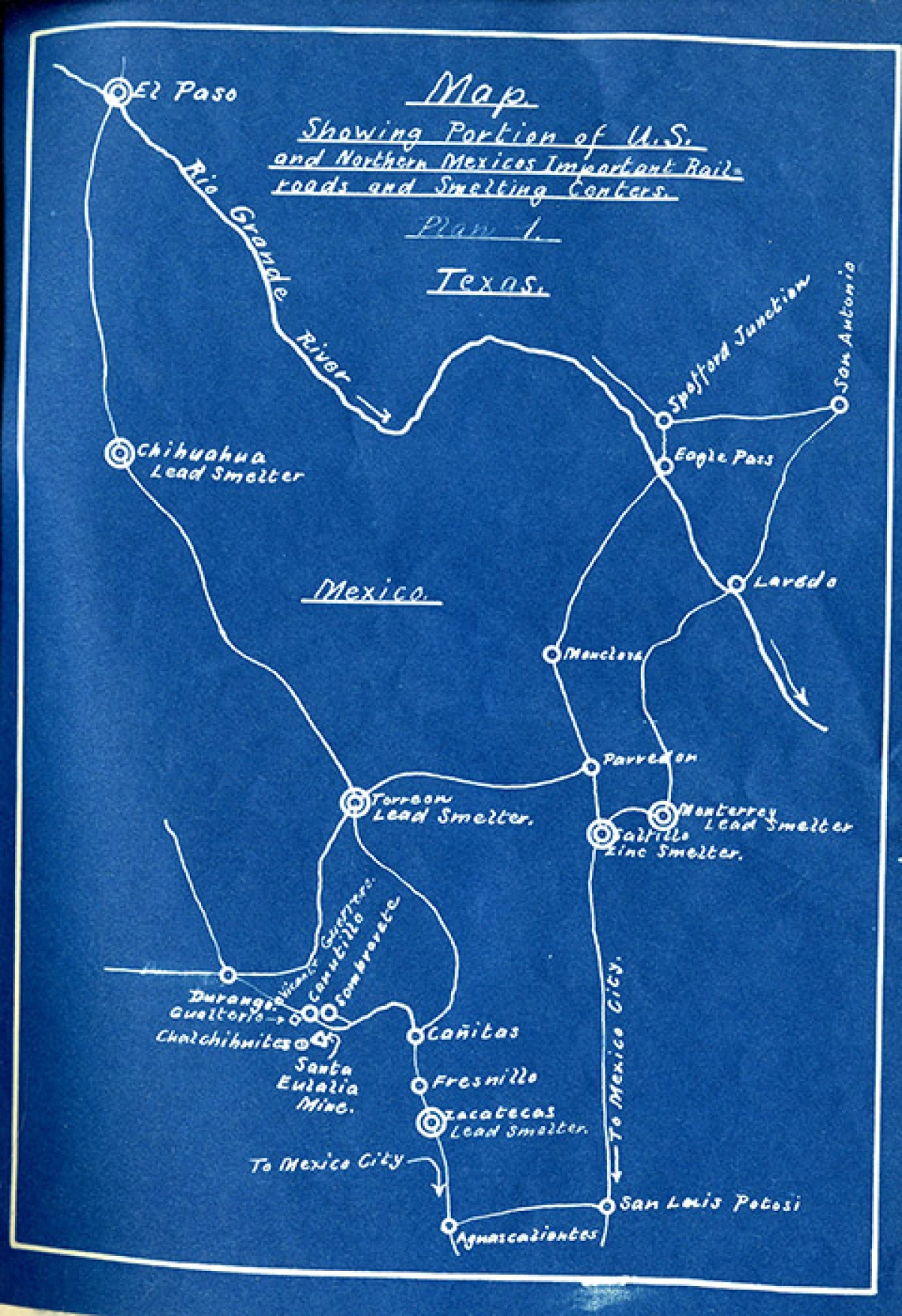
Mining Map showing portion of U.S. and Northern Mexico's important railroads and smelting conters
Collection area: Borderlands
Collection dates: 1927
Three-page typescript report from Holt to his partner, a Mr. Brock, about the Santa Eulalia group of mines near Sombrerete District, state of Zacatecas, Mexico, dated August 11, 1927. Included are four blueprints: an assay map, a geological plan, a surface plan, and a map; and also a hand-drawn map of important mining camps in the area.
Mining engineer.
A collection guide explains what's in a collection. New to using our collections? Learn how to use a collection guide.
Collection guideAccess this collection
Visit us in person to access materials from this collection. Our materials are one-of-a-kind and require special care, so they can’t be checked out or taken home.
How to cite
Learn how to cite and use materials from Special Collections in your research.
