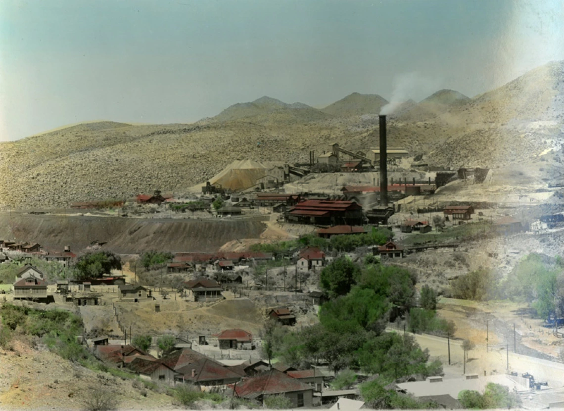
Apache Trail of Arizona photograph album

Old Dominion Mine and Smelter in Globe Arizona
Collection area: Arizona and Southwest
Collection dates: circa 1915
Photograph album, with hand-tinted color photographs, of scenes along the Apache Trail through the Superstition Mountains and Tonto National Forest, ca. 1915. Photographs include views of Globe, Arizona, the Old Dominion mine and smelter, Tonto cliff dwellings, Theodore Roosevelt Lake and Dam, automobiles, and one image of the bridge across the Salt River at Tempe with a horse and carriage crossing the bridge. The album is inscribed with the name “Thelma Alexander.” This series is arranged in order of travel.
The Apache Trail is a roadway linking the greater Phoenix area with Theodore Roosevelt Lake passing through the Superstition Mountains and the Tonto National Forest in central Arizona. Formerly called the Mesa-Roosevelt Road, it was renamed about 1915 by a Southern Pacific Railroad employee who wanted to promote one of the railroad’s scenic side trips. The trip was an option for its transcontinental passengers.
A collection guide explains what's in a collection. New to using our collections? Learn how to use a collection guide.
Collection guideAccess this collection
Visit us in person to access materials from this collection. Our materials are one-of-a-kind and require special care, so they can’t be checked out or taken home.
How to cite
Learn how to cite and use materials from Special Collections in your research.
