University Libraries launches Geospatial Data Repository, opening new opportunities for research, teaching, collaboration
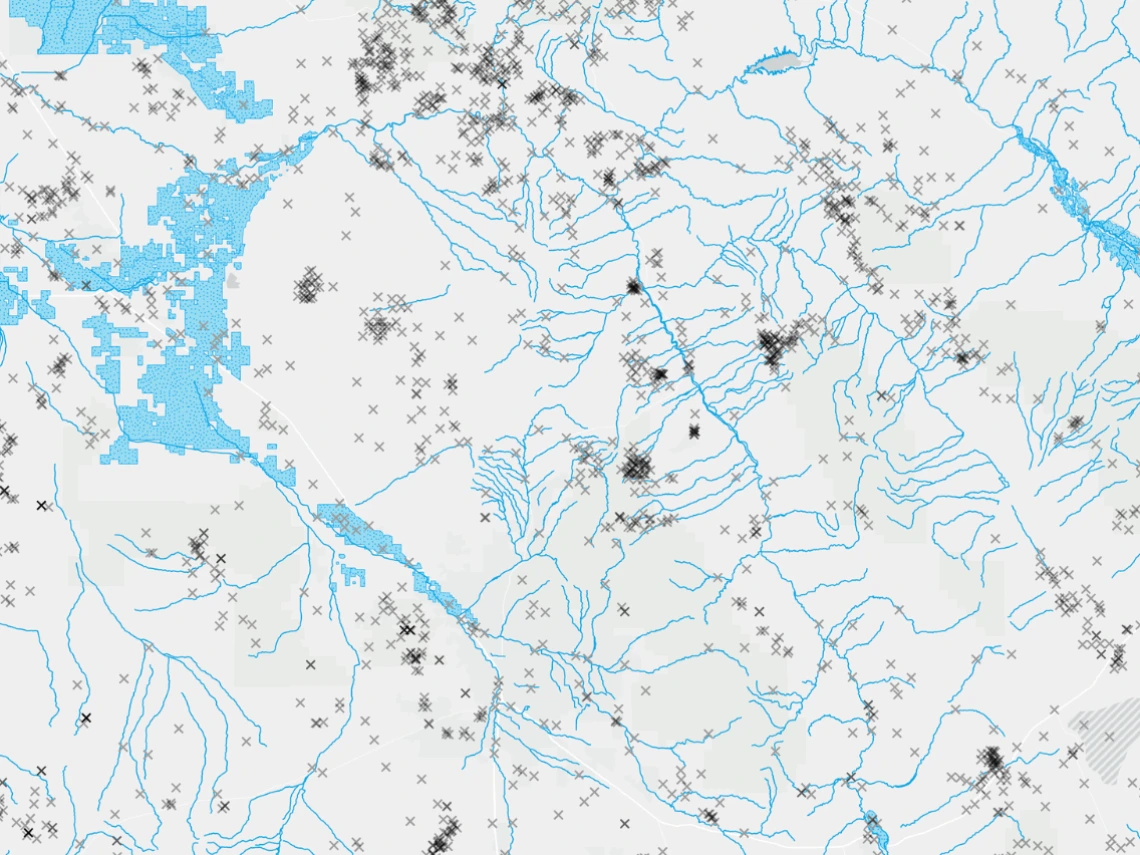
The Geospatial Data Repository houses spatial datasets, including maps like this one that displays mines, irrigation districts, streams, and rivers.
Geospatial data is a foundational component of research and teaching across many disciplines at the University of Arizona.
From social data such as historical American Indian reservation boundaries in Arizona, environmental data about Arizona’s watersheds, lakes, streams, and rivers, and historical maps of the southwest United States, geospatial data covers a wide range of topics.
The University Libraries’ Research Engagement and Technology Strategy and Services - University Information Technology Services (TeSS-UITS teams) departments recently collaborated to launch the Geospatial Data Repository, which houses all of the library’s spatial datasets.
An extensive collection of geospatial data is available on a single, centralized platform that students, staff, and faculty have access to use for research. Library patrons who are simply curious and interested in geographic information systems are welcome to explore spatial datasets as well.
“Our Data Cooperative unit already provides geospatial data services through workshops and consultations, and we’re excited to expand our services through the development of the Geospatial Data Repository,” said Megan Senseney, department head of Research Engagement.
“Now, students, staff, and faculty can easily discover and access a growing collection of geospatial resources that we host.”
The repository provides students, faculty, and staff access to high-resolution (6-inch) ortho imagery–also known as aerial images–collected by the Pima Associations of Government that display portions of Pima County. In addition, faculty and instructors can point students to relevant library-held spatial datasets in the repository for class assignments and projects.
“Geospatial data is becoming essential to basic literacy in higher education and integrated into courses from the sciences to the humanities through advances in automation and analytics,” said Steven Chang, UITS senior director, Specialized IT Services.
The repository project began in 2022. The project team used GeoBlacklight, an “open-source software application for discovering geospatial content, including GIS datasets, web services, and digitized paper maps,” according to the website, to develop the repository and provide access to a wide variety of open access spatial datasets.
“For TeSS, the Geospatial Data Repository presented an opportunity to experience technologies and processes that were new to the team," said Chang. "The project has expanded our skillset with tools that can be applied to future library projects."
The repository and the collaboration in the University Libraries demonstrate that working together may produce even better outcomes in the future.
“By bringing together technical and domain expertise, the Libraries are advancing our service mission and strategic priorities in support of student success and research engagement,” said Senseney.
Geospatial Data Repository Project Team
Research Engagement
Jeff Oliver
Megan Senseney
Garrett Smith
TeSS-UITS
Leah Albert
Steven Chang
Mike Hagedon
Ashvini Kabadi
Elia Nazarenko
Kevin O’Dea
Ashley SlayMoore
Jeff Turman
Rich Yu